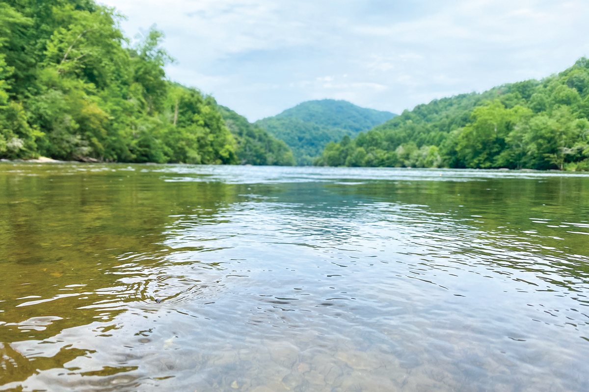
State of the waterways: New report details potential impacts of ordinance revisions
 File photo
The Macon County Commission decided this month to delay consideration of changes to its watershed and floodplain ordinances until at least the new year, in part due to the organization of a Water Quality Advisory Committee and its new report on the state of Macon County waterways.
“The Water Quality Advisory Committee recommends that RV parks remain ineligible for a Special Nonresidential Intensity Allocation,” the report reads. “We therefore recommend the county commission not adopt changes to the Water Supply Watershed Protection Ordinance as proposed.”
Changes to the Water Supply Watershed Protection Ordinance were up for discussion at the Macon County Commission’s September meeting. Just one month prior, the board had approved changes to the Soil Erosion and Sedimentation Ordinance. As per a plan approved in July, the board had intended to take up one of three ordinance revisions at each meeting throughout August, September and October with the last change, regarding the floodplain ordinance, scheduled for October.
However, when the Water Supply Watershed Protection Ordinance came up at the September meeting, Chairman Gary Shields announced the board would wait until January to consider changes to both the Water Supply Watershed Protection and Flood Damage Prevention ordinances.
This delay came in part due to a legal concern that the planning board had not reviewed changes to the Water Supply Watershed Protection Ordinance as written, and in part due to a report from the newly formed Watershed Advisory Committee.
Early in the process of considering changes to the floodplain ordinances, Lewis Penland — previous member of the Macon County Planning Board and a contractor with experience in stream restoration and natural channel design — recommended forming a committee to further investigate the recommended changes and garner input from people on both sides of the issue.
Related Items

Join Franklin Bird club for Macon County walks

Botany, beauty and Bartram: The flower hunter's legacy

Word from the Smokies: Scientific inquiry, a thriving enterprise in the Smokies

Sliding Rock to open for summer season
Although there was overwhelming public opposition to the changes to the Soil Erosion and Sedimentation Control ordinance, the committee itself did not get organized until after commissioners voted 4-1 to approve the recommended changes.
“We were organized too late to weigh in as a committee on the Soil Erosion Ordinance, but we did present Commissioners with a 20-page report with technical recommendations on the Watershed Ordinance, and will do the same for the Floodplain Ordinance,” said Bill McLarney, chair of the Watershed Advisory Committee and aquatic biologist.
With the decision to revise the Watershed Watersupply Protection and Flood Damage Prevention ordinances pushed at least until January, the Watershed Advisory Committee, commissioners and planning board members have several months to investigate potential ramifications of changes to these ordinances, as well as any benefits to those who would like to see the changes happen.
The proposed changes involve removing the clause that says RV parks are not eligible for Special Non-Residential Intensity Allocations (SNIA) in Macon County’s watershed ordinance, and removing restrictions on fill material in the Special Flood Hazard Area (SFHA).
The report
The Watershed Advisory Committee is made up of nine members. In addition to McLarney and Penland, the group includes Associate Director of the Highlands Biological Station Jason Love, Agronomist and Macon County Farm Bureau representative Kenneth McCaskill, Forensic Engineer and Mainspring Conservation Trust Board Member Ed Haight, Vice Mayor of Franklin Stacy Guffey, Business Programs Chair at Southwestern Community College Carolyn Porter, Executive Director of the Watershed Association of the Tuckasegee River Katie Price, and Engineer/ Author/ White-Water Expert Doug Woodward.
“The committee’s purpose is to offer expertise from scientists and professionals on the proposed changes to existing ordinances,” the report reads in its charge to the committee. “To meet that charge, this committee is composed of experts with relevant knowledge, training, education and experience in the fields of biology, hydrology, engineering, agronomy, stream remediation, and water recreation. The educational information we have presented in this report is strictly based on scientific evidence and conclusions sourced from our own work and the works of others in these fields.”

Source: Trust for Public Land
Simply put, streams are a product of the landscapes they drain. This understanding lays the groundwork for much of the research that went into the 22-page report. Watersheds that supply drinking water to the public — as is the case in Macon County — or that have exceptional aquatic biodiversity or recreational resources — also the case in Macon County — have a different set of regulations than watersheds that do not.
The report demonstrates that forested landscape provide the cleanest and most consistent flow of water, and is cheaper to process into drinking water than that which comes from developed land. Both Asheville and Waynesville have opted to obtain drinking water from completely forested watersheds where the public is not even allowed to visit or recreate.
The watersheds that provide drinking water to Franklin and Highlands are mostly forested but do contain residential areas. Some tributaries in these watersheds are already negatively impacted. Mill Creek and the associated headwaters of the Cullasaja are listed as impaired based on the condition of the aquatic insect community.
“This impairment can be linked to the residential developments and the urban landscape in and around Highlands,” the report reads. “That said, the Town of Highlands has enacted strict sediment control plans in its Water Supply Watershed Protection ordinance and has opted for low density development to keep the watershed as forested as possible.”
While portions of the Little Tennessee River are listed as Excellent Quality Waters, its tributaries of Watauga Creek, Rocky Branch, Iotla Creek and Bradley Creek are all listed as impaired due to presence of fecal coliform. Conversely, no tributaries in the Cartoogechaye watershed are listed as impaired.
Several aspects of the current state of streams in Macon’s watershed were cause for concern among researchers when considering the potential impacts of revisions to the county’s watershed ordinances.
Since 1990, the Tennessee Valley Authority has been monitoring the Little Tennessee River mainstem, in collaboration with the North Carolina Wildlife Resources Commission and Mainspring Conservation Trust. Since that monitoring began, the river downstream of Porters Bend Dam at Lake Emory has been evaluated as excellent.
According to the report, this claim cannot be made for any other river in the Southern Blue Ridge ecoregion, and for few in the entire southeast.
Additionally, the Little Tennessee and several of its tributaries are home to threatened and endangered or regionally endemic aquatic species. These include the Spotfin Chub, colloquially known as a turquoise shiner, Appalachian Elktoe Mussel, Little Tennessee River Crayfish, Wounded Darter, Olive Darter, Sicklefin Redhorse, Smoky Dace and the infamous Hellbender.
Additionally, this area is home to sensitive terrestrial species like the Virginia Spiraea and the Bald Eagle.

A Bald Eagle perched on the Needmore section of the Little Tennessee River. Braulio Fonseca photo
“In addition to these species the ‘Needmore Tract’ has long been recognized as one of the last intact areas of Montane Alluvial Forest in the southern Appalachians,” the report says.
Several factors have led to the Little Tennessee’s excellent water quality rating and maintained biodiversity below Lake Emory, including dilution by the Cullasaja River and Cartogoechaye Creek; lower density population and infrastructure downstream of the dam; higher gradient of the river below the dam; Lake Emory itself acting as a natural tertiary sewage treatment system in addition to those of Franklin, Highlands and Dillard, Georgia; and recent efforts to reduce erosion and sedimentation in the watershed above Lake Emory. Until recently, Lake Emory was also acting as a settling basin for sediments coming from upstream, however, the lake is now filled to capacity.
Above Lake Emory, where the county has seen greater stream disturbance, more development, more erosion and loss of riparian buffering and shade, the report details a different story.
Swim Drink Fish, a national organization that collaborates with local communities to facilitate awareness of health-related conditions of bodies of water used for recreation, monitored three recreational sites in Macon County between April 2023 and 2024.
Data from the Tassee Greenway Shelter shows that over the course of the year, the river was never safe for contact recreation. Data from the access point on Sanderstown Road above Iotla Bridge, commonly known as “Redneck Beach,” showed the water was unsafe about a third of the time. Data from the upper limit of the Needmore Game Lands showed the water was usually safe but was still deemed unsafe about a quarter of the time, likely due to low water levels, which impacts the river’s natural self-cleansing capacity.

The Little Tennessee River is home to the Appalachian Elktoe, a type of freshwater mussel. FWS photo
RV parks in flood-prone areas, the report says, could lead to “increased public health risks in a watershed where E. coli counts are already above levels recommended for human contact with water bodies.”
The data outlined in the report led researchers to conclude that the county commission should reject changes to the Watershed Water Supply Protection ordinance, in order to maintain positive water quality below Lake Emory and try to improve water quality above the lake.
“There is scientific evidence that RV parks place added stress on stream water quality as a result of park design and construction,” the report says. “Soils are compacted, and substantial impervious surface cover is created, which increases stormwater volumes and velocities.”
Not only do exposed soils and higher stormwater volumes lead to increased erosion and thereby sediment in nearby streams, but the report also posits that impervious surfaces in RV parks accumulate harmful contaminants that can be transported with stormwater into nearby streams.
The report cites the destruction and multiple deaths that occurred at Laurel Bank Campground in Cruso after the catastrophic floods caused by Tropical Storm Fred in 2021 and notes that RVs situated near waterways increase risks for county employees during rescue operations, as well as “unacceptable costs” to the county related to prevention, rescue and damage control.
“The committee is concerned that the Board cannot guarantee that adequate stormwater, sediment and erosion control, and other protective measures will be implemented and monitored to avoid untenable stress on the operational capacity of the Town of Franklin Water Plant and the Highlands Water Treatment Plant,” the report reads.
Even if water treatment remains feasible in the face of increased residential density and impervious surfaces associated with RV parks, the report contends, water treatment expenses could substantially increase.
“It is a possibility worth considering that added contamination and alterations to the flow regimes of these supply watersheds could ultimately require major infrastructural overhauls at great expense and operational burden to the government and residents of Macon County,” the report concludes.
Recommendations
The committee recommends that instead of revising the ordinance to remove the clause that says RV parks are not eligible for Special Non-Residential Intensity Allocations (SNIA) in Macon County’s watershed ordinance, language should be added to the ordinance to prevent the establishment of RV parks within flood-prone areas.
In addition, RV park design and construction should adhere to guidance already provided in the ordinance for “cluster developments,” which offset areas of high-density development with establishment of conservation areas or green spaces.
And lastly, limits should be developed for impervious surface coverage within RV parks, and incentives should be offered for alternative “green infrastructure” stormwater management methods that promote infiltration of stormwater, as opposed to runoff into waterways.
“The committee’s opposition to the ordinance changes involving RV parks should not be misconstrued as opposition to RV parks in general,” the report notes.
Rather, the report says that the parks should be prohibited in the drinking water supply watersheds for Franklin and Highlands; in portions of the Little Tennessee River downstream of Lake Emory, which have been designated as excellent quality waters; and in flood prone areas, with or without fill.